|
|
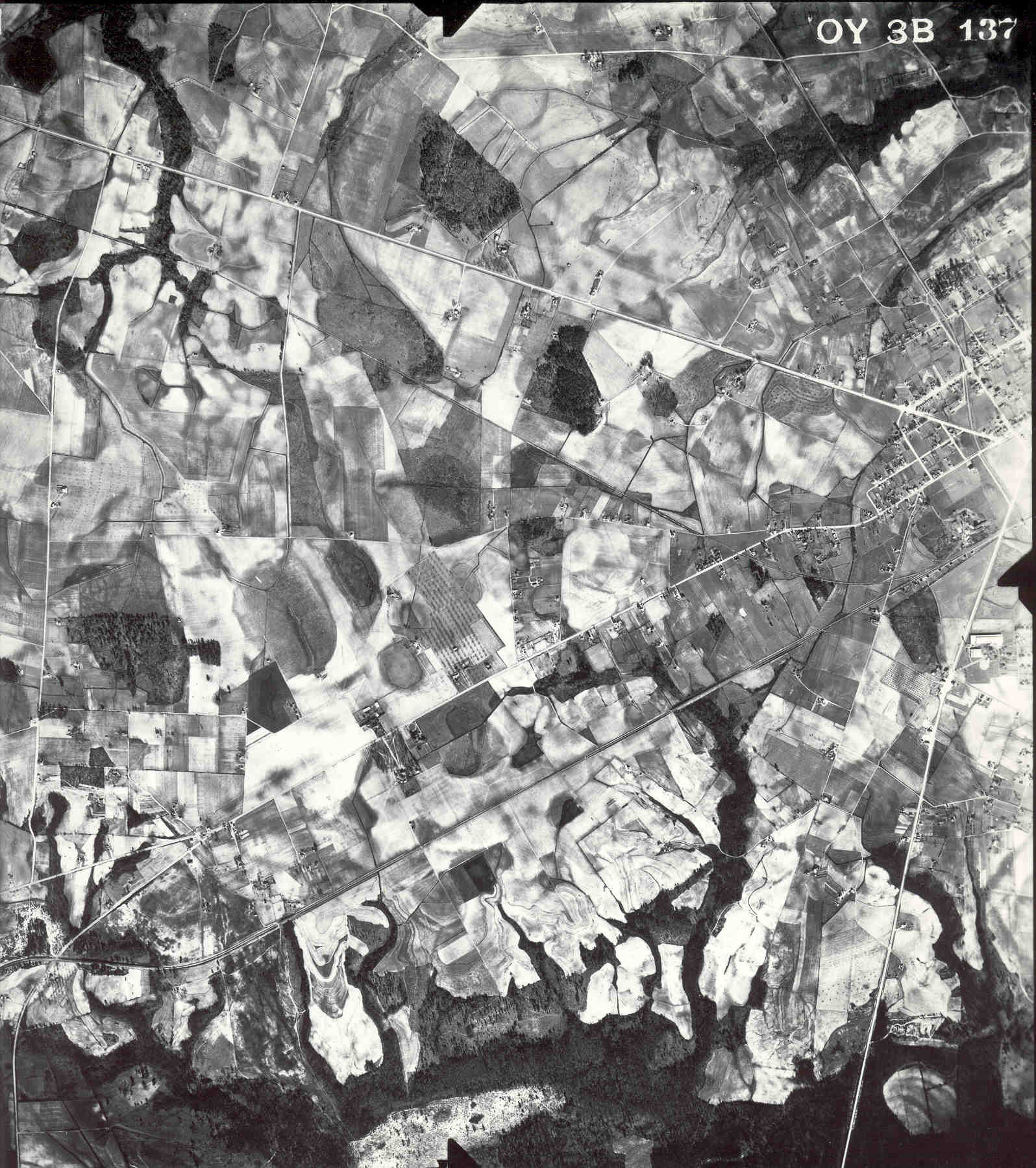
This photo is dated 21 January 1941. The number is
OY-3B-137 (CAN 20541) and was ordered from the National Archives.
The photo was printed from the original negative. Cheraw is on the right center with #9 going to the upper left, Teal's Mill Rd. going to the lower left, and US #1 going south. It is obvious how much "open" land there was--everything was cleared for cotton, etc. The Cheraw and Lancaster Railroad parallels (and just below) #9. The railroad was built in the early 1900's and dismantled in the 1940's. The rails were supposedly sold to Japan.....guess what they made with them! Click on the photo to see a full-size image. Let me know if you see anything interesting or worth investigating. |
|
|
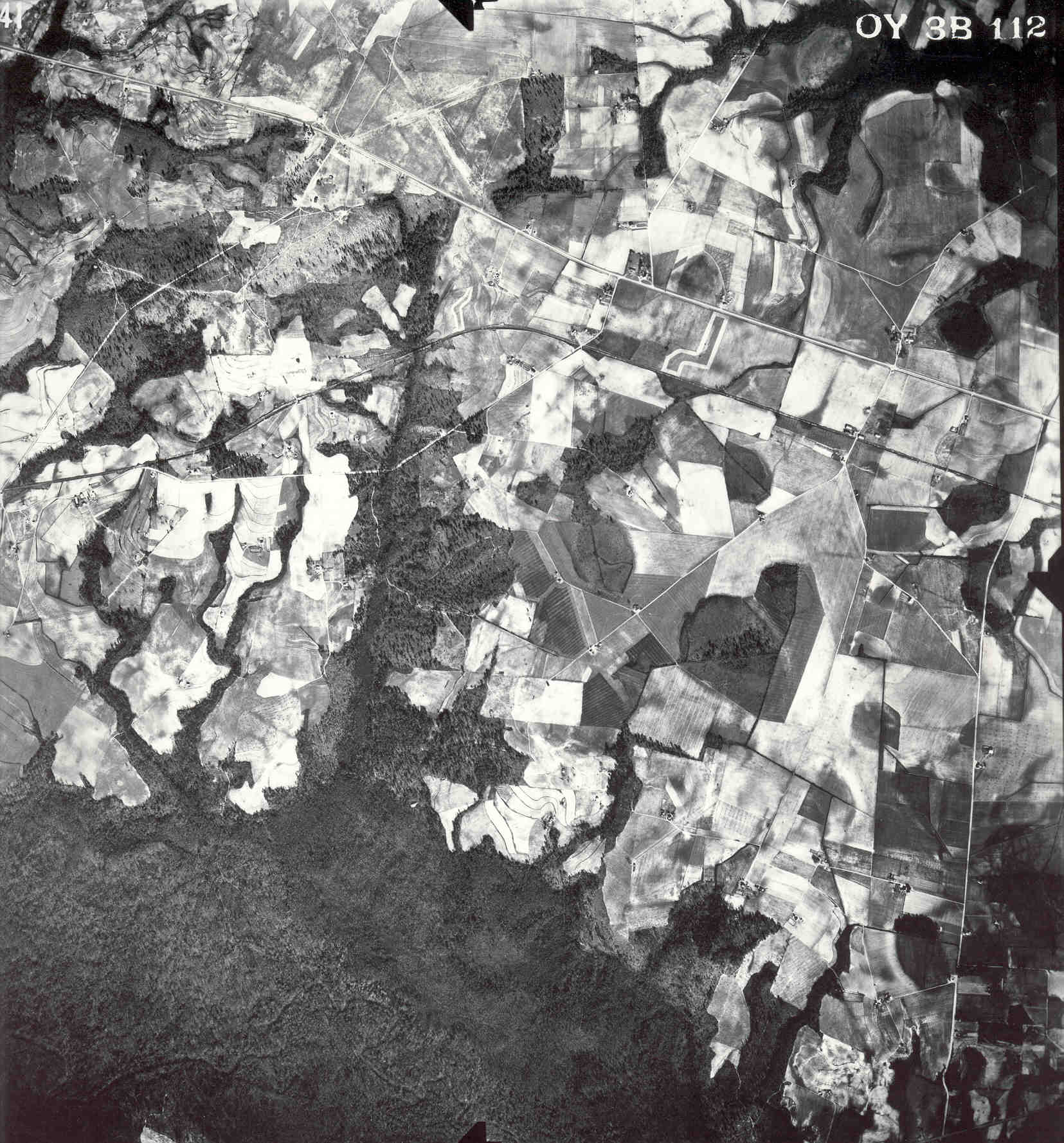
This photo shows the Bridlewood area west of Cheraw. It
was taken 21 January 1941. The picture number is OY-3B-112,
CAN 20541, and is from the National Archives. It was make from
the original negative.
#9 runs from the right center to the upper left of the photo. The Cheraw and Lancaster Railroad parallels (just below) #9 and curves away toward the left side of the picture. Click on the photo to see a full-size image. Happy viewing!
|
![]()
![]()